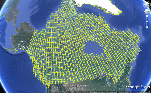
Totally irrelevant post, but if you need reasonable topo maps for Canada, the Government of Canada have a great Google Earth link to their Digital elevation models
250K maps (
link)
50K maps (
link)
 |
| even cartographers don't give a shit about the Canadian Arctic |
I've found that the best way to download the files is to right-click on the hyperlink and copy and paste it into your browser
 |
| Me, working on the Shovelnose property, with my reputation.... |
This will download a geotiff file for the area selected.
very cool


Thanks, TAG!!
ReplyDelete