now some piccies
Hole 48
This is an infill hole, it is 16m from holes EL-17-09 and 10 and 10m from holes EL-17-14
However, the when we look at the lauded 44.5m at 1.2% Ni and 0.8% Cu we quickly see in reality this wide zone is really running ~0.5% Ni and Cu with the majority of the metals in the ~5m wide massive sulfide zone.
Hole 53

What we predicted, again, the massive sulfide zone was slightly wider than I had doodled in an earlier post.
How do this change the lower zone massive sulfide footprint?
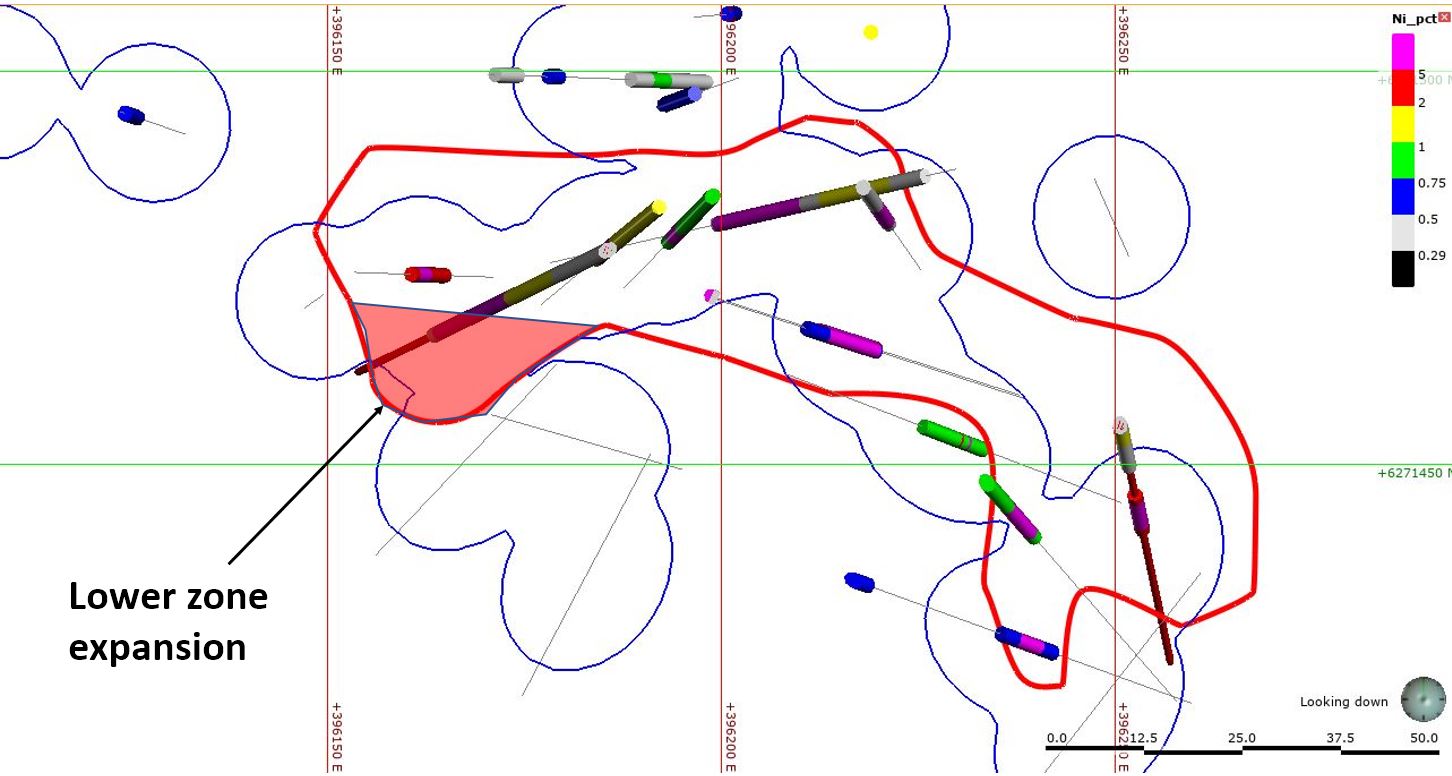 |
| a bunion |
So how big is Nickel mountain? Here is my modeled Ni mineralization

Which gives me an approximate size of...

As people got butt-hurt about me comparing Nickel Mountain with Voisey's Bay, here it is compared to a multitude of Nickel deposits (source - link).

So, it isn't, what you would call a tier-1 deposit


